Construction Progress Photography & Aerial Mapping in Bush, LA
Precision aerial imaging for construction sites that tells the true story of your project's evolution

Visual intelligence transforms construction project management
Aerial photography cuts through complexity, revealing the hidden narrative of your project's progress. We translate raw visual data into strategic insights that drive informed decision-making.
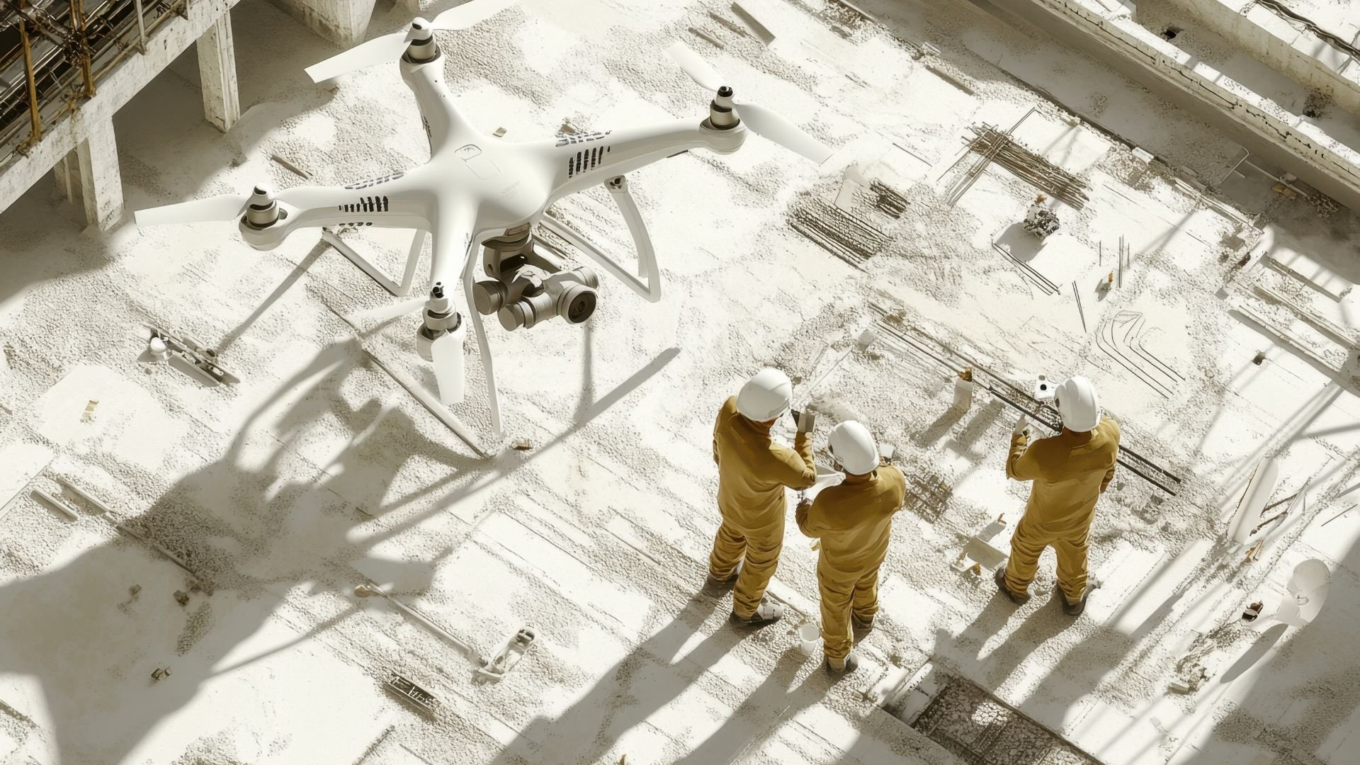
Advanced drone technology captures every detail
Cutting-edge drones deliver high-resolution images from impossible angles. We map what others cannot see.
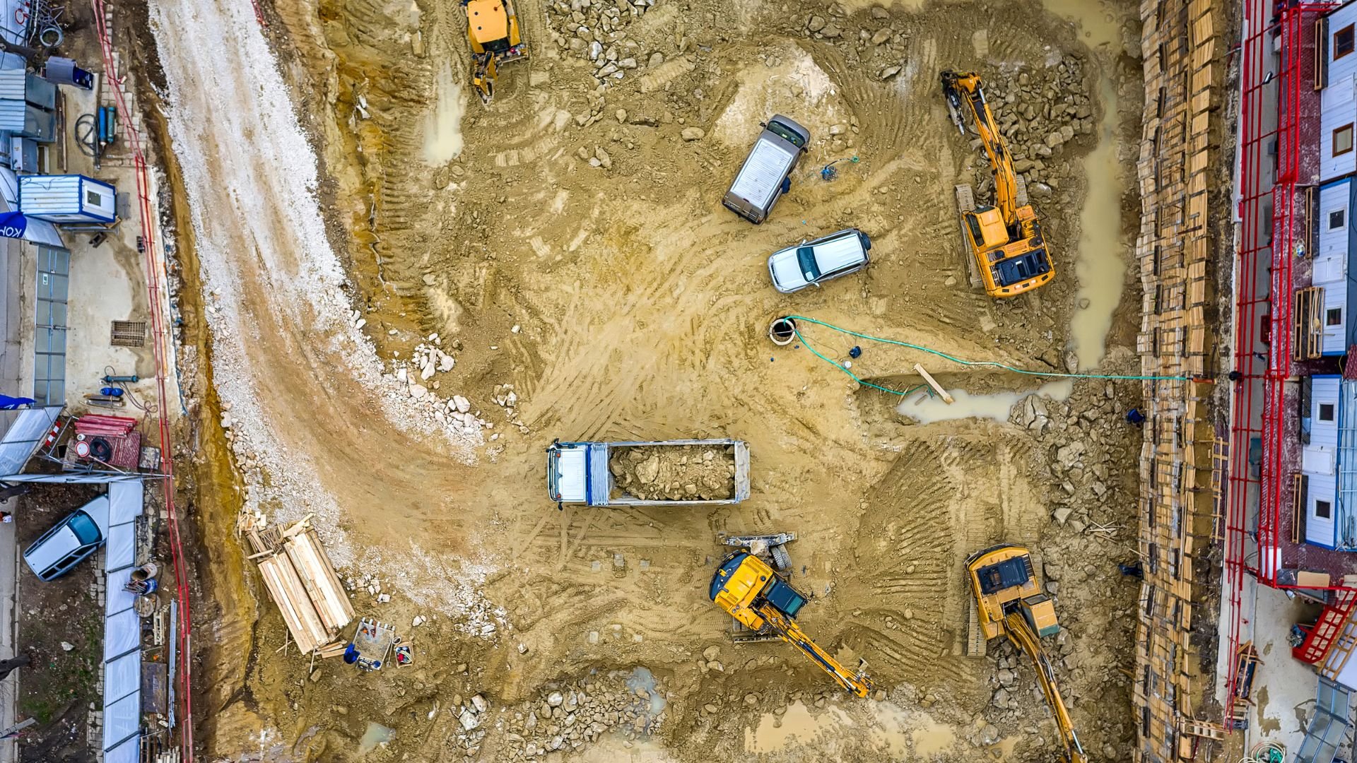
Precise mapping for project success
Comprehensive mapping services provide critical insights for planning and monitoring complex construction projects with unmatched accuracy.
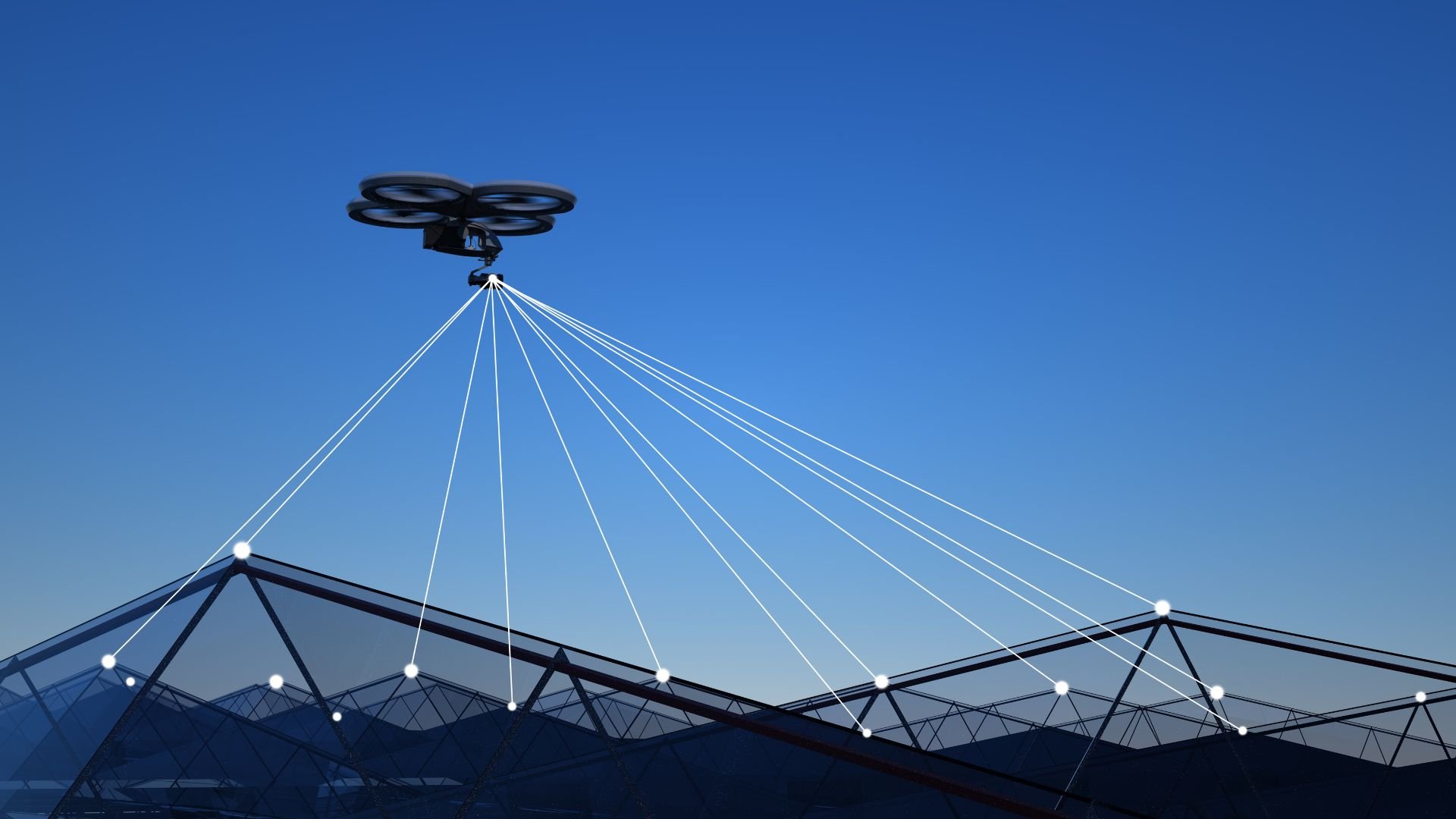
Comprehensive mapping and documentation solutions
We deliver more than images. We provide actionable project intelligence.
Site surveys
Detailed ground-level assessments of construction sites.
3D mapping
Advanced spatial modeling for precise project visualization.
Progress documentation
Chronological tracking of project development from start to finish.
FAQs
Common questions about our aerial mapping and construction progress tracking services.
We provide measurements accurate within 1-2 millimeters using advanced photogrammetry techniques.
We work with commercial, industrial, and infrastructure construction projects of all sizes.
Typical turnaround is 24-48 hours after site capture, depending on project complexity.
We maintain full FAA certification and adhere to all local and federal drone operation guidelines.
We offer comprehensive training on interpreting aerial mapping data for project managers.
We utilize state-of-the-art drone technology with high-resolution cameras and advanced sensors.
Need more information?
Our team is ready to answer any additional questions you might have.
Ready to map your project?
Transform your construction monitoring with precise aerial imaging and comprehensive documentation.